A polar vortex split is a disruption high in the stratosphere that breaks the Arctic polar vortex into two or more lobes, which can raise the odds of Arctic air spilling into the midlatitudes. The important catch is that a split is not a guarantee of a surface cold snap in every location or every event.
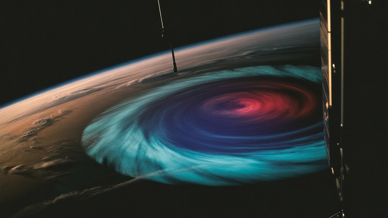
The polar vortex itself is a large area of low pressure and cold air that circles the poles, strongest in the stratosphere during winter. Most of the time, it behaves like a fast, tight ring of winds that helps keep the coldest air bottled up near the Arctic. A split means that ring has been badly disturbed.
What a polar vortex split is
According to NOAA Climate.gov, a split happens when the stratospheric polar vortex is shoved off balance so strongly that it divides into separate centers of circulation. Instead of one roughly circular pool of cold air over the pole, you get multiple lobes. Think less “weakened spinning top” and more “one system torn into chunks.”
This is different from simply calling the vortex strong or weak. A strong polar vortex usually means fast winds circling the pole and colder air staying more contained at high latitudes. A weak vortex means those winds have slackened and the shape may become stretched or wavier. A split is the more specific case where the circulation is not just weaker but actually separated into distinct lobes.
One common trigger is a sudden stratospheric warming event, when temperatures in the winter stratosphere rise rapidly and the usual west-to-east winds weaken sharply or can even reverse. These events are often driven by large atmospheric waves propagating upward from the lower atmosphere, where mountains, land-sea contrasts, and big weather patterns disturb the flow. The result is a stratosphere that can stop acting like a neat circular fence.
How a split changes weather
A split changes weather by increasing the chance that the jet stream becomes more wavy and that lobes of cold Arctic air push farther south. NASA’s Earth Observatory notes that when the vortex is disturbed, the circulation can elongate southward and help move cold air into North America, Europe, and Asia.
But this is where a lot of public discussion goes sideways. A split is not the same thing as “everyone gets extreme cold.” As NOAA PMEL explains, the link between stratospheric disruptions and surface weather is real but not one-to-one. Some events produce notable cold air outbreaks; some mainly reshuffle storm tracks; some have modest or delayed surface effects.
In practical terms, forecasters watch for three downstream effects after a split:
- a weaker or displaced stratospheric vortex,
- a wavier jet stream pattern, and
- an elevated chance of cold air outbreaks in parts of the midlatitudes.
That last phrase, elevated chance, is doing the real work. Forecasting here is about probabilities, not a switch labeled “polar vortex split: yes/no, freeze everywhere.”
A useful way to think about it is that the stratosphere can load the dice without deciding the roll. Surface pressure patterns, the exact shape of the jet stream, regional storm tracks, and timing all determine who actually gets the cold. That same atmosphere can produce very different outcomes from one continent to another, which is one reason long-range weather forecasting is still more craft than command line.
Why forecasts watch the polar vortex
Forecasters watch sudden stratospheric warming and polar vortex behavior because these events can provide early signals of pattern changes in the weeks ahead. If the stratosphere is disrupted, it can sometimes influence the troposphere below over the following days to weeks, which matters for sub-seasonal forecasting.
This is why agencies track the stratosphere separately from day-to-day surface weather. The NOAA NESDIS overview makes the basic point: the polar vortex is a high-altitude circulation feature, not the cold snap itself. The surface event people remember, frozen pipes, icy roads, overloaded grids, is the downstream result, if the atmospheric setup cooperates.
That broader setup matters in other climate stories too. Ocean circulation changes like the Gulf Stream and Europe’s climate operate on a very different timescale, but they are another example of why “one big system” rarely maps cleanly to one local weather outcome. And when forecasting improves, it is often because of better observations as much as better models, a point that also shows up in our note on how weather balloons beat public models.
The bottom line is simple: a polar vortex split is a stratospheric breakup event that raises the risk of Arctic air outbreaks, but it does not guarantee a deep freeze at the surface. It is a useful warning sign, not a finished forecast.
Key Takeaways
- A polar vortex split happens when the stratospheric Arctic vortex is disrupted enough to divide into two or more lobes.
- Splits are often associated with sudden stratospheric warming events that weaken or reverse the usual winter winds aloft.
- A split can increase the odds of a wavier jet stream and southward Arctic air outbreaks.
- A split is not the same as a guaranteed cold snap in every region.
- Forecasters watch the polar vortex because stratospheric changes can sometimes signal weather pattern shifts weeks in advance.
Further Reading
- Understanding the Arctic polar vortex, NOAA Climate.gov’s explainer on the vortex, sudden stratospheric warming, and splits.
- What Is the Polar Vortex?, NOAA NESDIS overview of the vortex and why it matters for winter weather.
- Arctic Weather Plunges into North America, NASA explanation of how vortex disruptions can send Arctic air south.
- Weather Whiplash, NASA explainer on weakened vortex episodes and southward cold-air intrusions.
- What’s going on with the Polar Vortex?, NOAA PMEL discussion of jet stream patterns, uncertainty, and surface impacts.